July 9, 2020 - (Vancouver, B.C.) Like the gold rush of yesteryear in the Yukon and California, gravel riding has captured the imagination of cyclists the world over in search of epic rides. The gravel rush has taken hold across Canada and the USA as cycling enthusiasts search for hidden treasures on backroads and trails, while gravel events and races attract hundreds, and in some cases thousands of riders.
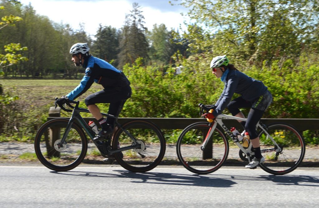
For keen cyclists in Vancouver, good fortune is nearby as great gravel trails beckon riders in this fast growing, sprawling metropolis. Only a 45-minute drive, or a 1.5 hour e-bike away, you’ll be amazed at the bounty of superb gravel riding that awaits in the smaller cities of Pitt Meadows and Maple Ridge just east of downtown Vancouver.
While testing a Specialized Creo SL e-road bike we set out to explore a whole lotta gravel to get the job done right – see our review of this amazing e-bike here. The plan was to connect as much off-road, un-paved, cycling-friendly routes starting in downtown Pitt Meadows and finish up in downtown Maple Ridge.
This area has been my home for over 50 years, and while I’ve explored the region by foot, boat and bicycle, this was my first time to take in the amazing landscape by e-bike – I love my job.
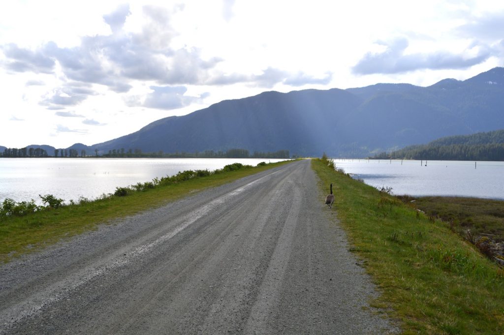
Pitt Meadows boasts a 60-km network of dykes which was a perfect start to my e-gravel adventure. With over 60% of the area below sea level these dykes are pancake flat making this section of the route like an appetizer. These dykes were built to reclaim the land from its stranglehold between the mighty Fraser and Pitt rivers. Today this dyke system still protects farming while providing recreational opportunities for many.
Starting from the city centre, it is a short ride south on Harris Road until you hit the dykes, hang a right, and your e-adventure begins. The well-groomed, hard-packed gravel flows west along the Fraser River, past the Pitt Meadows Airport and into beautiful farmland. This portion of dykes was used about 20 years ago for a popular event on the BC road racing calendar, Harris Roubaix, which morphed into today’s Jeremy’s Roubaix, that takes place in April at a new location down the path.
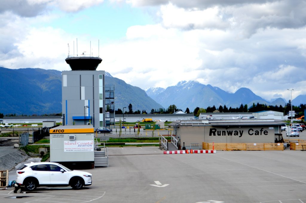
As the dyke veers right, you are now following the Pitt River, past Highway One, and into the jewel of the area as this portion of the ride can be busy with other cyclists, joggers or dog walker. Easy spinning in Eco mode on the Specialized Creo fit perfectly, but I’m prepared for a long range journey with the Range Boost extra battery on board for up to 200km of pedal assist.
It is simple to monitor battery levels and adjust the power support with the Turbo Connect Unit on the top tube. For additional information such as ride time, distance and speed, the bar-mounted computer is perfect, or the Mission Control App on my phone which also allows you to pre-set your ride and monitor battery consumption.
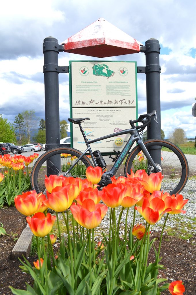
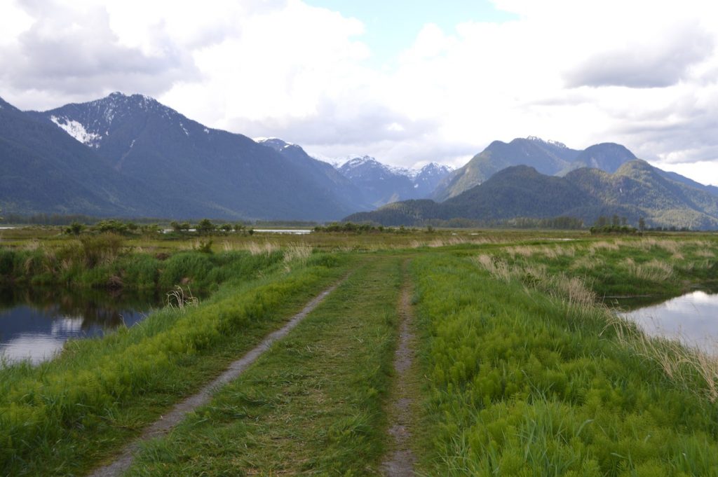
The dyke now becomes part of the Trans Canada Trail and is well maintained with signage. Just past the Pitt River Marina the path joins the Alouette River and soon after I arrived at Harris Road. From here the Trans Canada Trail continues its way East, but for this journey, I hang a left over the river and continue north. I am now riding through a vast area known as Pitt Polder which is cast in the shadows of the majestic Golden Ears Mountains, the most dominate feature in the area towering at over 1,700 metres above the flood plane.
After the devastating flood of 1948 the arrival of Dr. Dan Blom with Dutch investors sought to reclaim this area for farming. They purchased the majority of the land and began to skillfully build a labyrinth of dykes, most of which are still here. Today this land is owned and managed by Luigi Aquillini, current owner of the Vancouver Canucks, who operates largescale blueberry and cranberry operations in the area. Two major golf courses, Swansea Bay and Golden Eagle, are also popular mainstays in the region.
As I linked northward towards Pitt Lake, my journey took me on a combination of roadways and dykes not groomed like the early ones, with some being quite bumpy, including some dirt sections and others with grass. The Creo’s Fact11 carbon frame and adjustable Future Shock 2.0 greatly absorbed much of this chatter, smoothing out the ride. The nasty, strong winds from the north hitting my face, a common trait in the region, where no match for the lightweight 240-watt, Specialized SL 1.1 motor which allowed me to maintain a constant 32-km-hour in Sport mode.
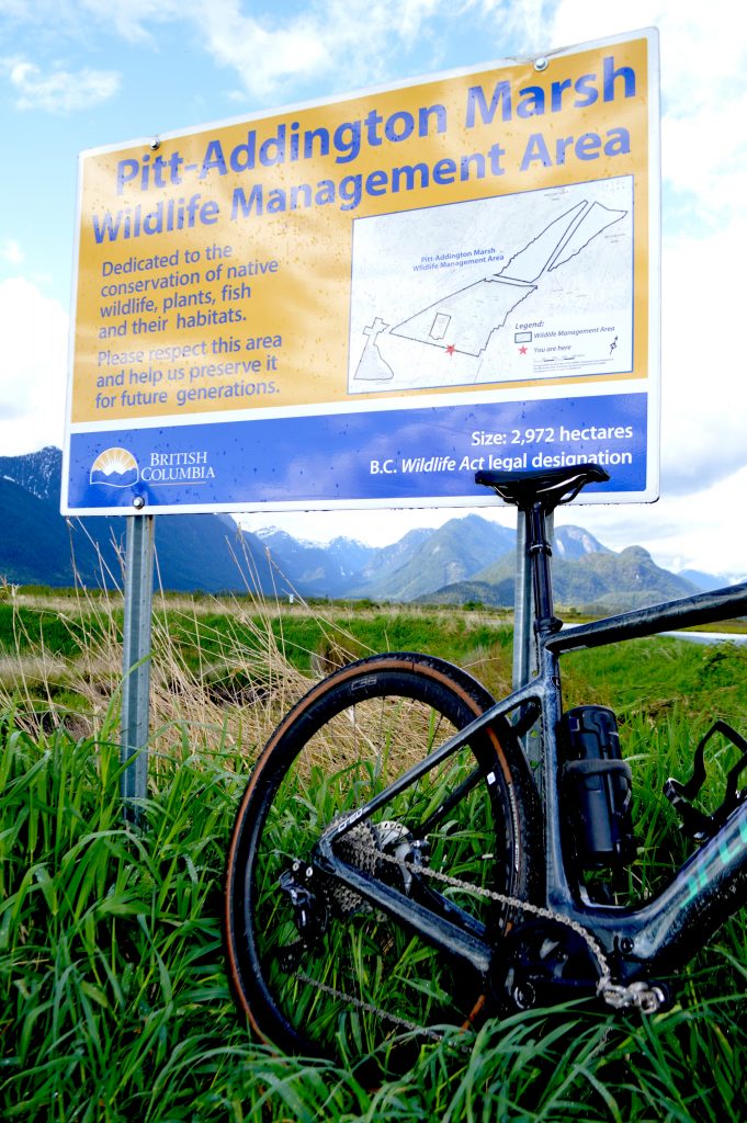
The last stretch to Pitt Lake took me through Pitt-Addington Marsh Wildlife Management Area. As much as farming dominates this area, unique ecosystems and an abundance of wildlife also thrive. Over the years I have encountered native Sandhill cranes, blue herons, eagles, bears and swans.
Large ponds and sloughs surround the area as I passed a solo fisherman in a canoe on my left while a pair of merganser ducks took off to my right. At this point I slowed down to connect with my surroundings while silently sleuthing my way down the path, as the croaking of frogs performed a duet with the light hum of the e-bike.
At 32km I hit the shores of Pitt Lake which is said to be the largest tidal freshwater lake in the world and home to the Katzie First Nation. For about 600 years the Katzie have occupied this territory and still have an active presence in the area.
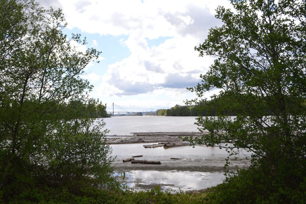
The remote upper Pitt River Valley, a 24-km boat ride away, is a very special place. Legend has it that in the late 1800s, Charlie Slumach had a gold mine in the area, the location of which he took to his death by hanging after charges of murder. The lure of Sumach’s stories riches has sent many fortune hunters to the area in search of the secret gold mine.
A gravel road goes deep into the valley which is home to world class sport fishing, abundance of wildlife, and also hosts the annual migration of the largest sockeye salmon runs on the lower west coast. Along this road is the old townsite of Alvin, now a logging camp, and at the 23-km mark is a breathtaking canyon-side hot spring, the real treasure of the upper Pitt.
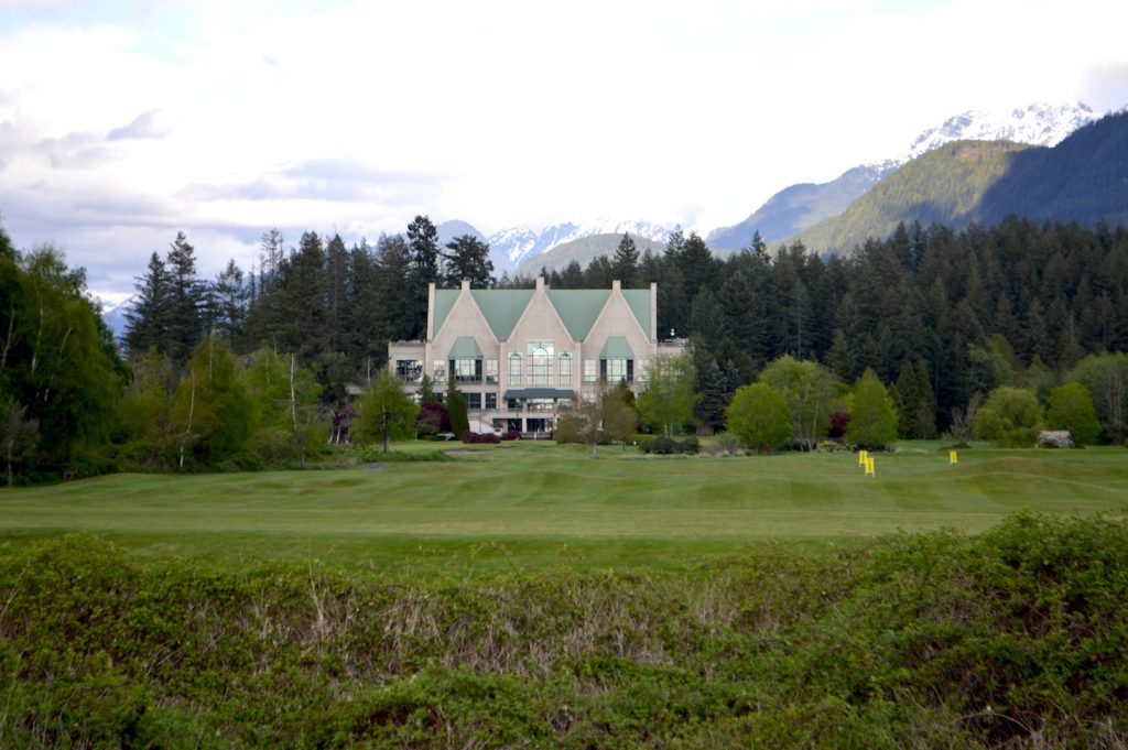
I continued my journey following the Pitt River downstream through the western portion of the park. Soon enough I could see the fairways of the Swansea Bay golf course and the scar of an active gravel quarry on the hillside beyond. Before long you’ll be on Neaves Road heading south towards our destination. This area is host to an annual gravel cycling event, Rock the Ridge, which is currently re-scheduled for September 6 due to the Covid-19 pandemic.
After 2km you’ll cross the North Alouette River bridge and then turn left at the dyke heading east to 224th Street, which is the mid-way point of today’s journey. The city centre of Maple Ridge is only 3 km away where restaurants, shopping and accommodation await your arrival.
The first half of today’s ride was 52 km long and included a total of 45 km of dykes and 7 km of paved roadways. If you choose a similar route as an out-and-back, be prepared for the distance and bring food and water as there are not many amenities along these trails. Of course there are many smaller distance options, with two major roadways connecting both cities, and maps of the area are also available.
The next leg of this e-gravel adventure took me away from the flatlands of Pitt Meadows to the hills of east of Maple Ridge which is connected to a myriad of multi-use paths and gravel roads. This historically strong equestrian community has created a massive network of trails, with Maple Ridge once being dubbed The Horse Trail Capital of B.C.
Since the 1960’s, the Haney Horseman have been instrumental in building and maintaining over a 100 km of trails and today many are now designated as multi-use including bicycles. While sharing these trails expect to see horses at any time, and make sure to stop if with any encounters and proceed under the direction of the horse-rider.
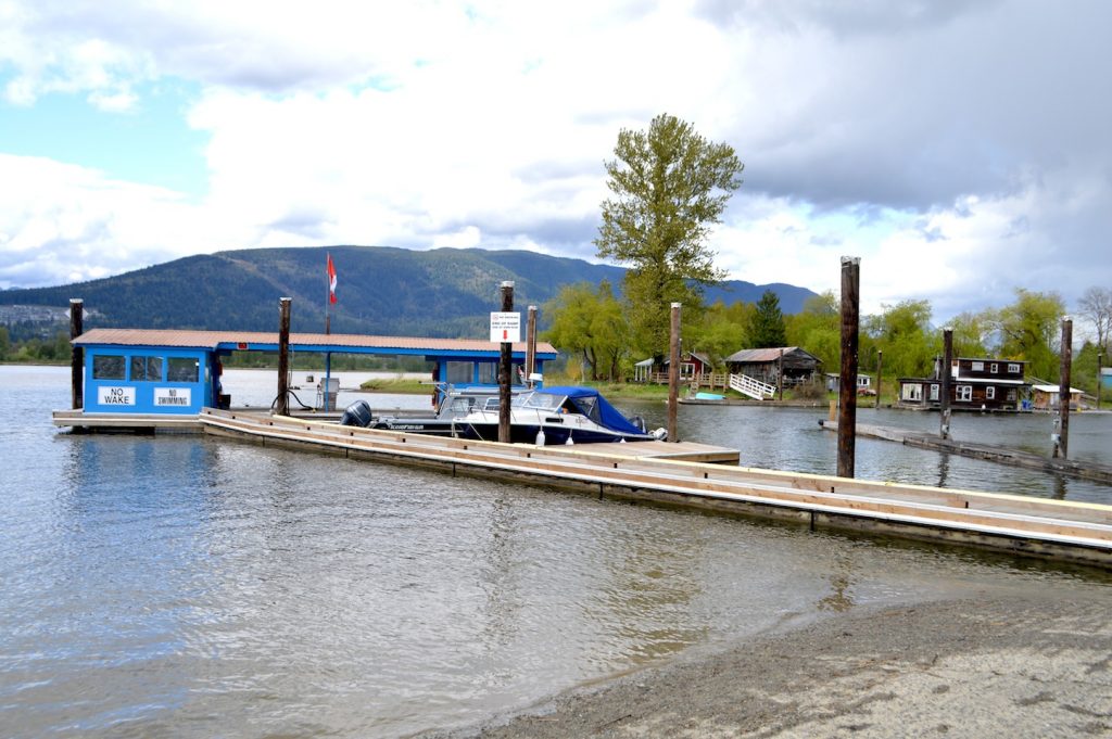
As with many gravel roads and other access trails, most are the result of past and current industrial endeavors such as logging or hydro projects, allowing an abundance of great ways to explore the surrounding wilderness and rural areas.
The gravel trails around Maple Ridge are about 10 km away near the northern end of Alouette Road where you can access a 10 km gated section of gravel road that runs along the South Alouette River to Alouette Lake and then loops around to 256th Street with access to Blue Mountain.
This section of gravel is popular with other recreational users including dirt bikers, and passes through a portion of Golden Ears Park that is currently closed due to Covid-19. There are plans currently in the works for a new gravel event that will utilize this area and debut in Spring 2021 – stay tuned.
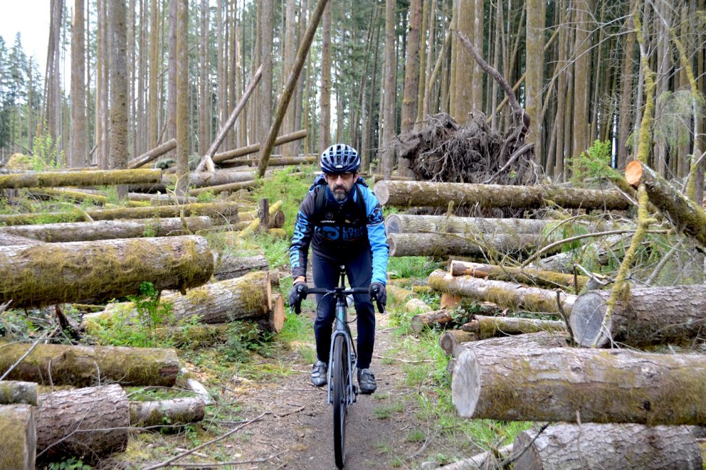
Just east of 256th street sits Blue Mountain, currently an actively logged area with logging roads that offer great gravel cycling connections. Our route via a short trail in Whispering Falls took us to the climb up Blue Mountain is relatively easy, with Sport mode on the Creo doing the trick.
Views to the south and to Thornhill, our next destination, are visible from this point. Blue Mountain is a popular area for dirt bikes, and the trail network is overseen by the Blue Mountain Motorcycle Club. These trails are well marked but are not suitable for most of our gravel rigs.
Back on pavement, it is a quick 4 km ride to the base of Thornhill. After a short creek crossing and some solid gravel trails spin along the North side of the hill, past rural properties and new housing developments to access the climb up to Thornhill. Smooth, accurate shifting from Shimano’s Ultegra Di2 and XT rear derailleur makes it easy to keep a high cadence and maximize the efficiency of the Creo’s pedal assist.
Thornhill is a prominent feature in the area, rising above the landscape and capped by large B.C. Hydro towers. The area’s current network of multi-use pathways along with some great new mountain-bike trails make this a very popular recreational destination.
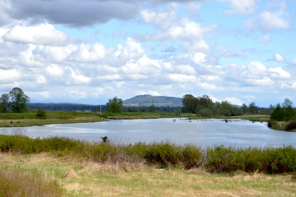
Arriving at the base of the trails, an extremely steep gravel entrance to the forested slopes was no match for the Specialized Creo in Turbo mode. With a solid partnership between rider and bike, climbing these slopes was a breeze. The 700 x 38m Specialized Pathfinder tires wrapped on carbon Roval 38 wheels connected nicely with the gravel and provided a smooth, non-skid ride up. As the slope eased, I continued my journey up a trail called Head’s Up until I reached the summit.
From the top, it was a short decent on the Hydro access road to the lower multi-use trails and some steep, old-school rooty pitches. The well thought out frame geometry on the Creo offered great stability on the decent with amazing manoeuverability around obstacles.
The Shimano hydraulic disc brakes provided superb speed control and when things got somewhat “janky,” a quick flick of the bar-mounted switch and the lowering of the Fusion dropper seat post got me low enough to prevent a potential loamy face plant.
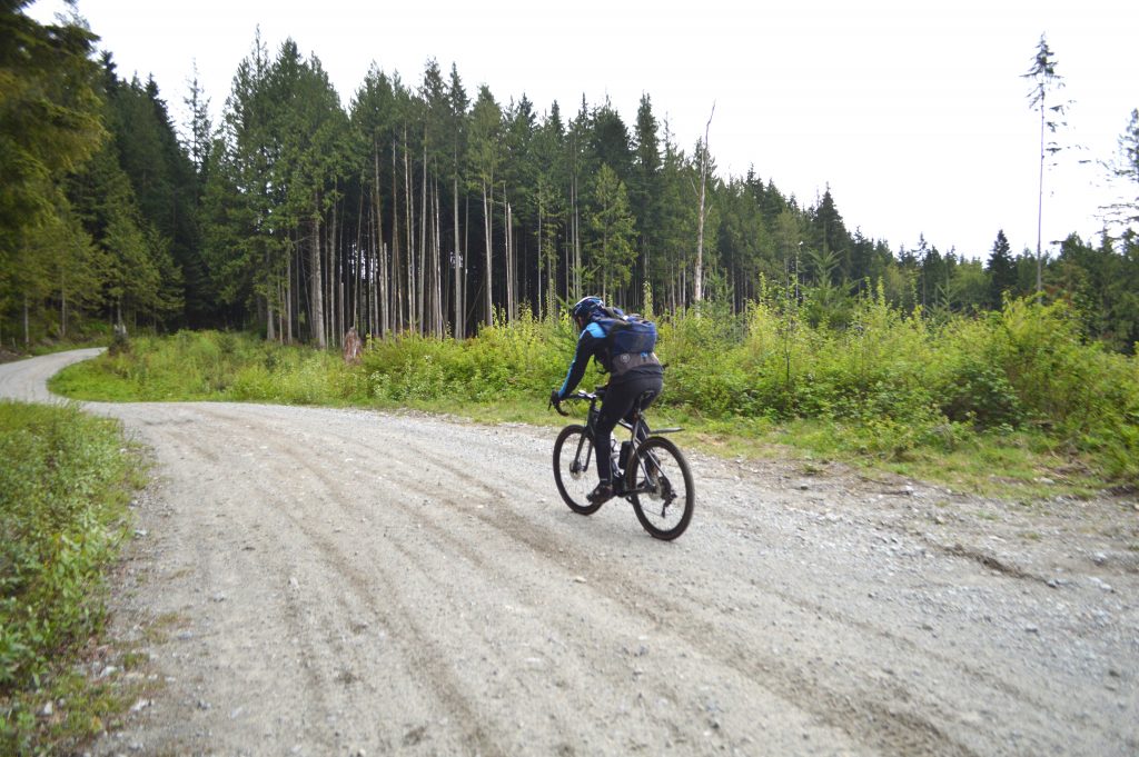
As I exited Thornhills trails, our final destination, downtown Maple Ridge, came into view a mere 5 km down the road. This stretch of our journey was over 50km with well over half on gravel and trails. It was fabulous to explore these off-road cycling options by e-bike knowing all are 100% traditional bike-friendly as well.
Having achieved my 100km e-bike ride, it was time for one last gulp of gravel on a 200-metre shortcut through Kanaka Creek Regional Park into town before heading straight to one of the local craft beer stops to rehydrate. Did I tell you that I love my job.
For more information visit Pitt Meadows Tourism here; Discover Maple Ridge here; Destination B.C. here.
Thanks to Specialized Canada and Cit-E-Cycles in Vancouver for their assistance to facilitate our test.


