







August 2, 2026 - (Detroit, MI) With the upcoming opening of the Gordie Howe International Bridge’s multi-use pathway, the Detroit Greenways Coalition has launched an online bike and trail map that helps bicyclists and pedestrians choose their routes throughout Southeast Michigan and Southwest Ontario.
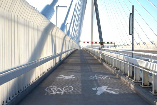
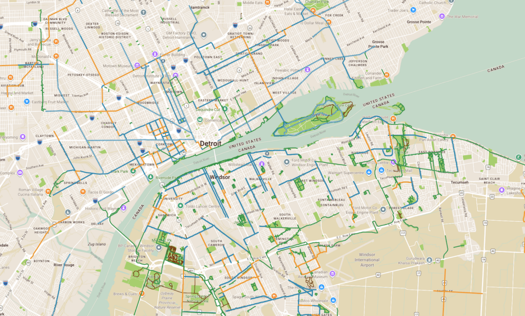
Available here, the interactive map allows users to plan rides that cross the US-Canada border while exploring hundreds of miles of greenways, trails, on-street bikeways, ferry routes, parks, bike-share stations, repair stations, and popular destinations throughout the Detroit-Windsor region.
The launch coincides with the opening of the Gordie Howe International Bridge’s much anticipated multi-use pathway on August 5th, creating the first direct bicycle and pedestrian connection between Detroit and Windsor in decades. Together, the new pathway and the online map make it easier than ever for residents and visitors to experience the region.
“We created this map so riders—from first-time visitors to experienced cyclists—can easily discover the best routes and destinations on both sides of the border,” said Todd Scott, Executive Director of the Detroit Greenways Coalition. “Whether you’re planning a short neighborhood ride or an international cycling adventure, this map puts everything you need in one place.”
“We’re looking forward to the Gordie Howe International Bridge’s multi-use path connecting the cycling networks on both sides of the border,” adds Bill Nesper, Executive Director of the League of American Bicyclists. “The new online bike map will help bicyclists plan their pedaling adventures across the Detroit–Windsor region and beyond.”
Transitioning away from paper maps due to high production costs and rapid infrastructure updates, the Coalition’s new online tool automatically syncs every 24 hours. It pulls real-time information from open data portals provided by the City of Detroit, City of Windsor, Essex County, SEMCOG, and the Michigan Department of Natural Resources.
The map also provides live tracking for MoGo bike-share station availability. Using the menu option, users can view major active and planned regional projects, including the Joe Louis Greenway, Iron Belle Trail, Windsor Loop, and Waterfront Trail.
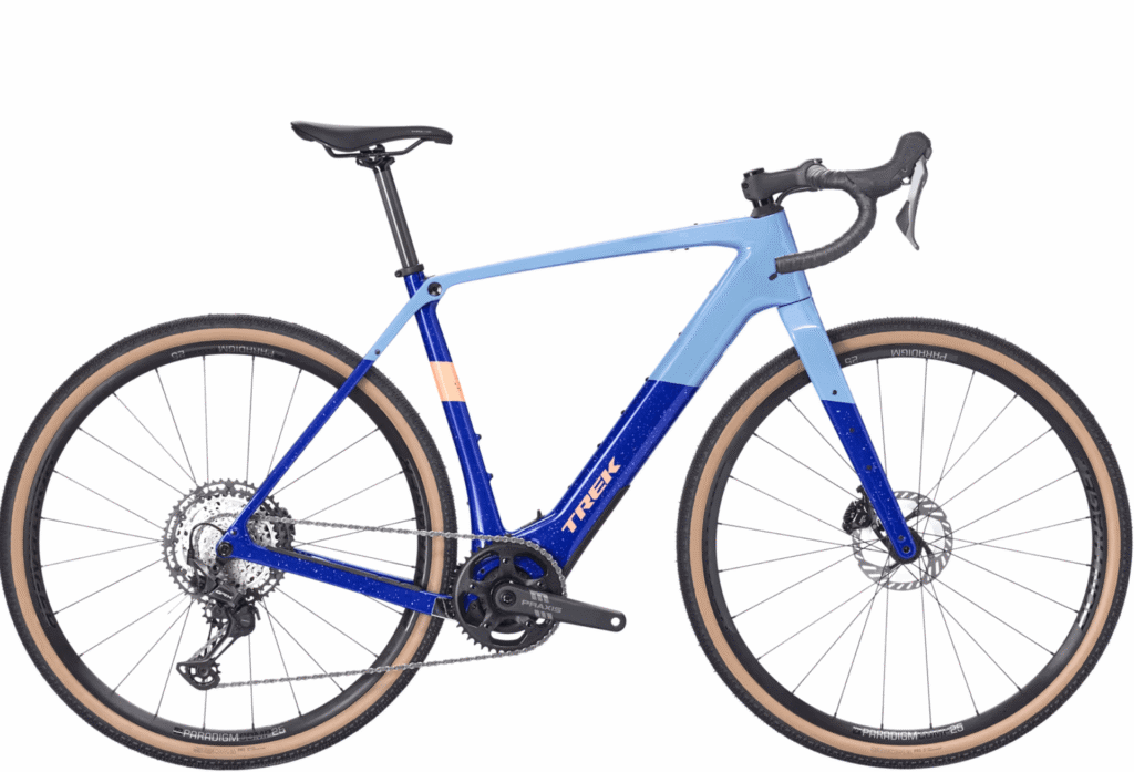
To bridge the gap between digital and physical navigation, the Coalition has distributed free bike stickers featuring a direct QR code linking to the map. Putting this sticker on a bike frame is an easy way to always have a map available. These stickers are available for free at local bike shops and the Michigan Welcome Center in Detroit.
Funding for this map project has been provided by the Gordie Howe International Bridge Community Benefits Plan.
Explore the interactive map here.
About the Detroit Greenways Coalition
The Detroit Greenways Coalition is a nonprofit organization dedicated to creating, promoting, and connecting a regional network of greenways, trails, and bicycle facilities throughout Southeast Michigan. The Coalition works with local governments, nonprofit organizations, and community partners to make walking and bicycling safer, more convenient, and more accessible for everyone.